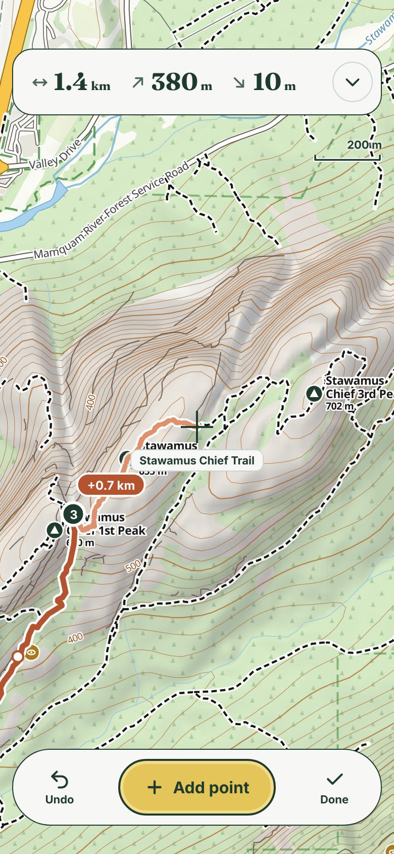
Draw a route in a minute
Point at the trail and tap. The route follows real trails, and you see the next leg, its distance and the climb before you add it.
North Shore · Squamish · Whistler
Sea to Sky is a free hiking map for Android. Offline maps and trail routing, no account, no tracking.
Point at the trail and tap. The route follows real trails, and you see the next leg, its distance and the climb before you add it.
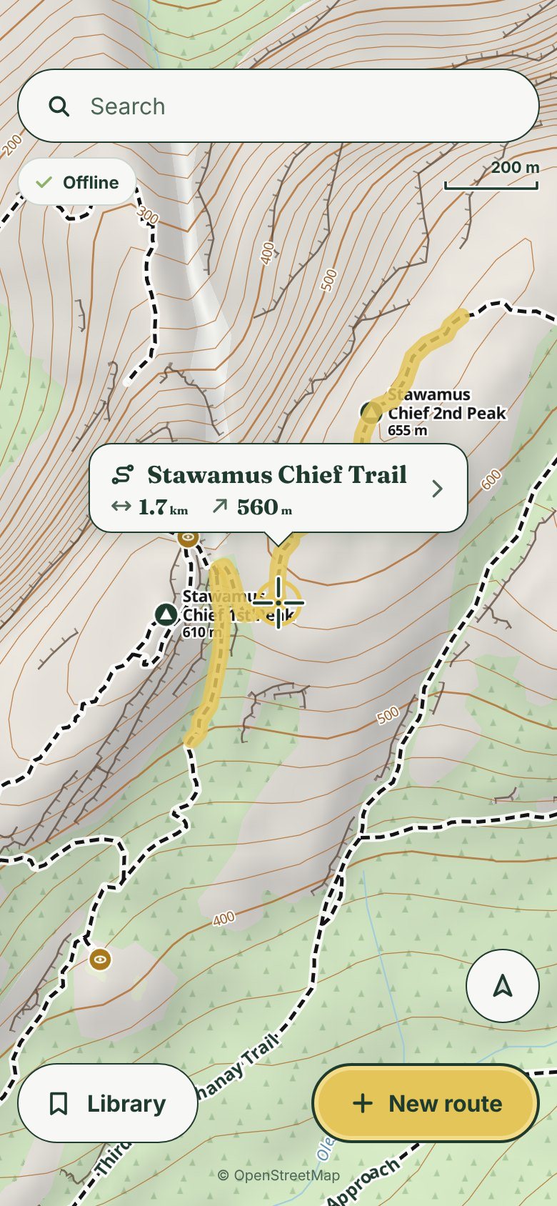
Maps and trail routing live on your phone. Saving a route downloads the map around it, so you're covered when the bars drop.
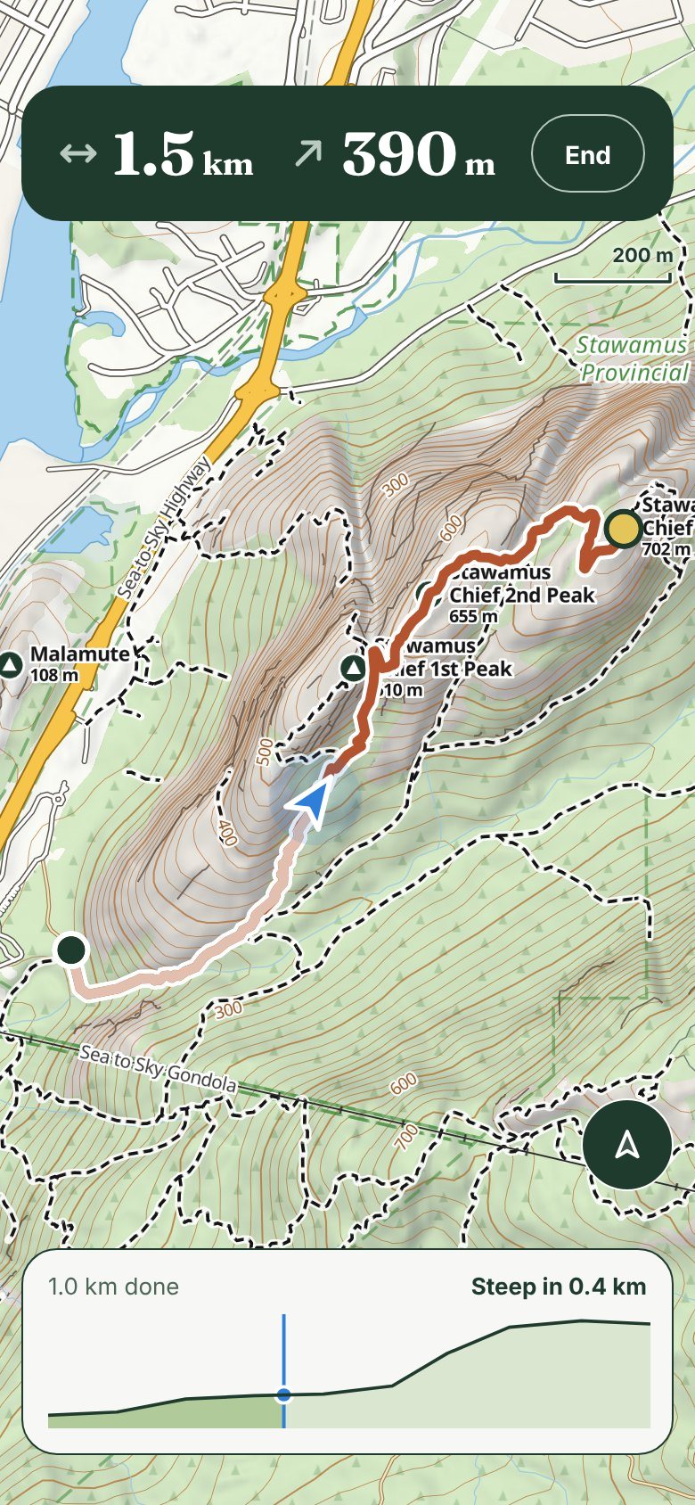
Hike mode shows your route, where you are and what's left. No tracking, no feed, no nagging. Record in Strava if you like.
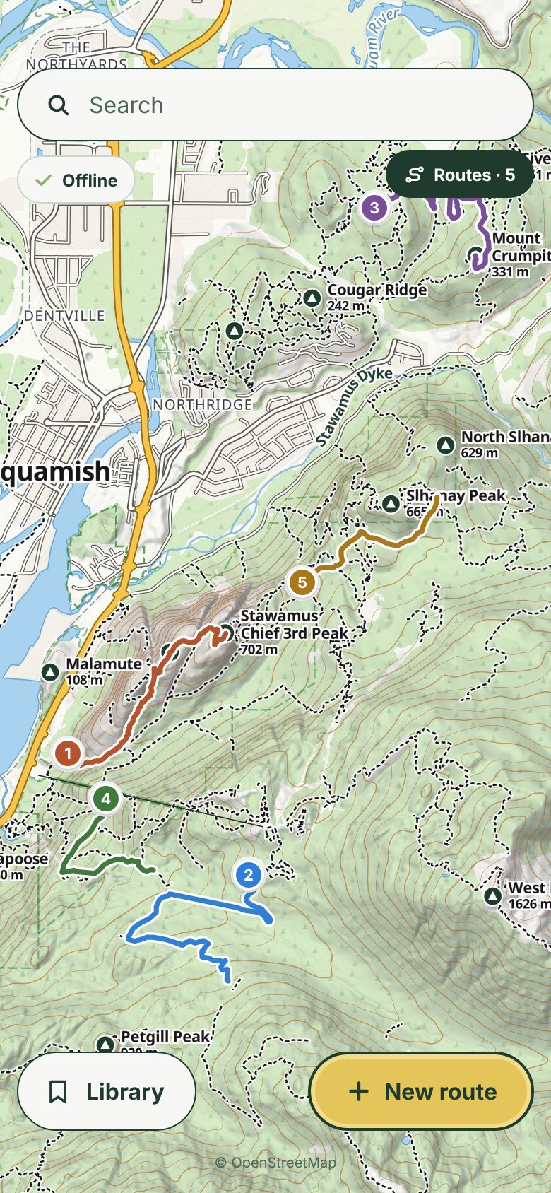
Every saved route sits on the map in its own colour. Share one with a link that opens in the app, or as a GPX file.